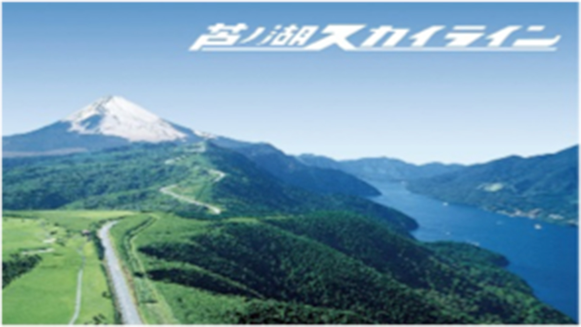
A superb view road on the Hakone caldera rim extending to the western shore of Lake Ashinoko.
Ashinoko Skyline running through the outer rim of the Hakone crater in a north-south direction is a road that provides a panoramic vista of Lake Ashinoko to the east, Mt. Fuji to the west, the urban area of Mishima and Numazu Cities, and the Izu Peninsula in the distance across Suruga Bay. You can enjoy the seasonal charms while driving on the 10.7-kilometer road at an altitude of about 1,000 meters.
The Hakone area of the ”Fuji-Hakone-Izu National Park”, a representative national park of Japan, abounds in pristine nature. In the neighboring area, there are a full array of sightseeing spots, such as art museums, museums, pirate sightseeing ships, ropeway, temples and shrines, and historical sites, giving visitors a good time. With Mt. Fuji located at its northern end, ”Fuji-Hakone-Izu National Park” is a national park representative of Japan–a volcanic country–comprising various volcanic landforms within the Fuji Volcanic Zone as well as hot springs, richly varying coastlines, and islands.
※Click here for the highlights of Fuji-Hakone-Izu National Park
※Click here for the Official Web Site for Mt. Fuji Climbing
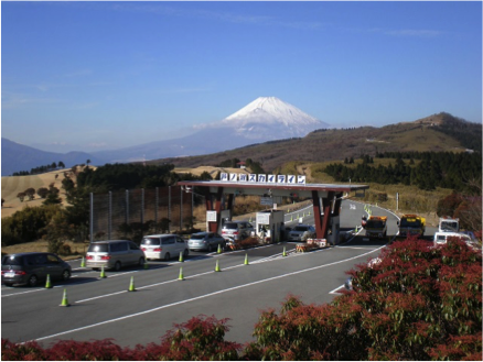
Riht turn from National Route 1 (Hakone Shindo) and drive a little while, and you will see a toll plaza. On sunny days, you will see Mt.Fuji before you.
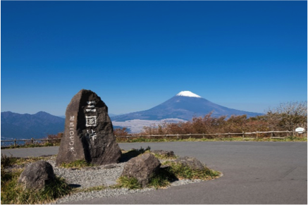
A magnificent panoramic view of Mt. Fuji, and the central area of Mishima and Numazu Cities, and the Izu Peninsula across Suruga Bay can be enjoyed from this observation space.
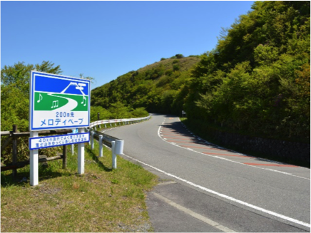
A zone where you can hear music from the road surface when driving at a speed of 40km/h. Who knows the song titles?
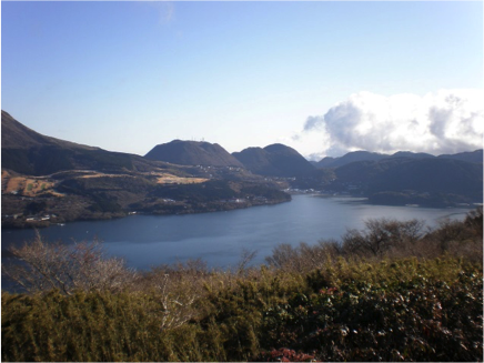
There is an observation space with a lake view from which you can enjoy a magnificent vista of Lake Ashinoko unfolding before your eyes.
Contact
- Company:Ashinoko Skyline Co.,Ltd
- TEL:0460-83-6361
- Address:638 Hakone Ashigarashimo-gun, Kanagawa
- Email:ashinoko-skyline@helen.ocn.ne.jp
- Click here for the official site
Fee
- Motorcycle (over 125cc)
- Main Line 300 yen
- Kojiri Line 100 yen
- Light / Ordinary car
- Main Line 800 yen
- Kojiri Line 100 yen
- Minibus
- Main Line 1,800 yen
- Kojiri Line 300 yen
- Large car
- Main Line 2,900 yen
- Kojiri Line 400 yen
Recommended drive route 1
- Point1
- Ashinoko Skyline Hakone-toge Tollgate
2㎞
(3min)
- Point2
- View of Lake Ashinoko from Rest House “Fuji View” & “Lake View”
2㎞
(3min)
- Point3
- View of Mt. Fuji from Mikuni toge Observation Deck
3㎞
(4min)
- Point4
- Sengokuhara Susuki grassland/Owakudani Valley
